This course provides practical skills to design, organize, and manage effective workshops that engage participants and achieve clear outcomes. You will learn to set goals, create interactive agendas, handle logistics, facilitate sessions, and evaluate success—equipping you to lead impactful and well-run workshops.
- Teacher: PETERSON SAITOTI
- Teacher: Odel Trainer

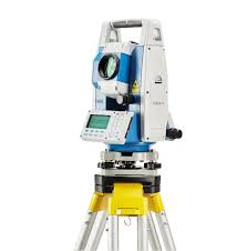
This course provides fundamental knowledge and practical training in levelling, a key component of land surveying. Students will learn various levelling techniques used to determine the relative height of points on the earth's surface. The course covers topics such as types of levelling (e.g., differential, profile, and cross-sectioning), use of surveying instruments (like dumpy level and auto level), booking and reduction of levels, and error adjustment methods. Emphasis is placed on fieldwork, data collection, and interpretation, equipping students with the skills to conduct accurate and reliable levelling surveys for civil engineering projects.
- Teacher: PETERSON SAITOTI
- Teacher: Odel Trainer
